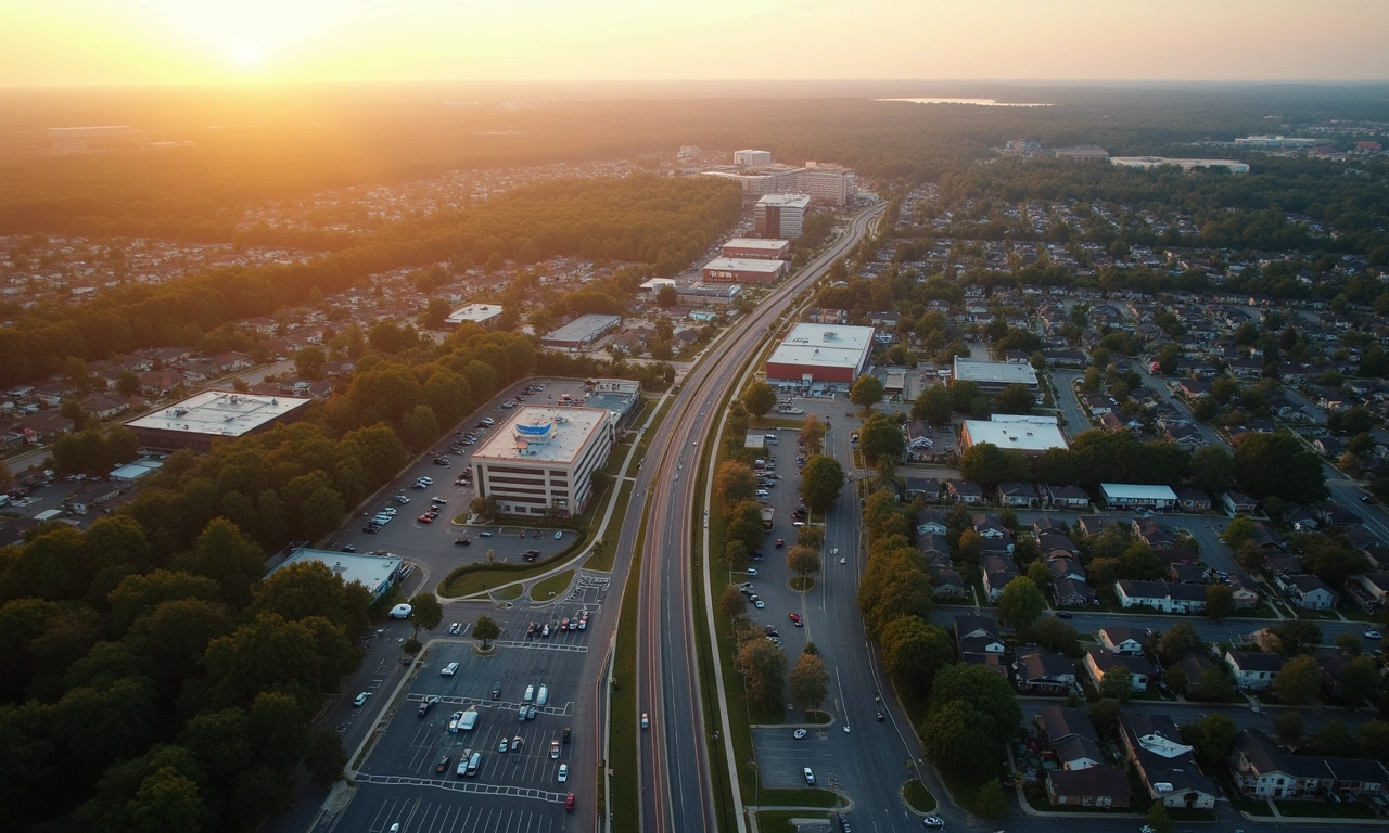
Milton, GA's 2026 zoning update represents the most significant revision to North Fulton's land-use code in over a decade. For operators working with Pillar Partners to deploy institutional capital in this submarket, understanding the revised ordinances is a prerequisite to accurate underwriting — and to identifying the value-add opportunities competitors are missing.
The City of Milton revised its Unified Development Code in Q4 2025, with full implementation effective January 1, 2026. Key changes address mixed-use overlay expansion, accessory dwelling unit (ADU) rights, and equestrian district commercial allowances — all of which directly affect the feasibility and leverage profile of deals in the submarket.
"Zoning is the first underwriting variable. If you don't know what the land can do, you don't know what the deal is worth."
What Changed in Milton's 2026 Zoning Update
| Zone / District | 2025 Allowance | 2026 Change | Capital Impact |
|---|---|---|---|
| Mixed-Use Overlay (MU-1) | 3-story max, 20 units/acre | 4-story max, 28 units/acre | +22% GBA potential |
| AG-1 (Agricultural) | No ADU rights | ADU by-right on 1+ acre lots | New JV opportunity class |
| Historic District (HD) | Façade-only restoration | Adaptive reuse permitted | HTC stacking now viable |
| NEC (Neighborhood Commercial) | Retail + office only | Live-work units added | Mixed-use conversion plays |
| Equestrian District (EQ) | Residential only | Limited agri-tourism commercial | Hospitality JV pathway |
Infographic
Milton Zoning 2026 — District Quick Reference

Overlay Districts: Where Density Rights Create Value
The expanded MU-1 overlay, now covering approximately 340 additional acres along Crabapple Road and Birmingham Highway corridors, is the primary driver of new value-add opportunity in 2026. Operators who acquired land under AG-1 assumptions may now find their sites re-entitled within the overlay expansion zone.
Zoning verification is the first step in any acquisition, and our North Fulton due diligence framework provides a systematic process for confirming current entitlements, pending variance applications, and overlay district boundaries before executing a purchase contract.

Density Allowances by Asset Class (2026)
| Asset Class | Base Density | Overlay Density | Typical Lot Size |
|---|---|---|---|
| Multifamily (MF) | 14 units/acre | 28 units/acre (MU-1) | 2–8 acres |
| Mixed-Use | 18 units/acre | 32 units/acre | 1–4 acres |
| Single-Family Attached | 6 units/acre | 9 units/acre | 0.5–2 acres |
| ADU (AG-1) | N/A | 1 unit per lot (by-right) | 1+ acres |
| Adaptive Reuse (HD) | Case-by-case | FAR 1.5 | 0.25–1 acre |
Variance and Special Use Permit Process
Milton's Board of Zoning Appeals (BZA) meets monthly. SUP applications for commercial uses in residential zones have a 60–75 day processing timeline. For operators with bridge financing that has a construction start covenant, this timeline must be modeled into the deal schedule. Pillar Partners' capital structures routinely include a "zoning contingency period" to protect LP capital during the entitlement phase.
Impact on Acquisition Underwriting
When underwriting a Milton acquisition under the 2026 code, operators should:
- Confirm current zoning and overlay status on the Milton GIS portal
- Check for pending re-zonings within 500 feet (positive and negative)
- Model both as-of-right and SUP scenarios in your financial model
- Obtain a zoning verification letter before contract ratification
- Review any recorded plat restrictions that survive re-zoning
Historic District: The 2026 Adaptive Reuse Opportunity
The new adaptive reuse provision in Milton's Historic District is the single most capital-intensive opportunity created by the 2026 zoning update. Structures built before 1960 within the HD boundary can now be converted to mixed-use under an FAR of 1.5, unlocking historic tax credit (HTC) stacking with institutional preferred equity — a structure previously unavailable in this submarket. See our full analysis of historic district restoration financing for capital structure detail.
Data Visualization
Density Rights by Zone — 2025 vs 2026
* HD density expressed as Floor Area Ratio (FAR); all others in units/acre.